| Via Noal 3 - 32036 Sedico (BL)
|
|
|
Summary
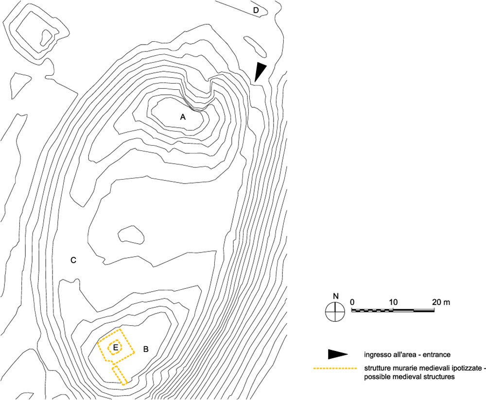
The archaeological area at Noal displays the rests of a fortified settlement that was initially built during recent and final Bronze age (XII-XI sec. a.C.) and which was later re-used during Iron age (X-IX sec. a.C.) e in Medieval times (X-XII sec. d.C.).History of research
The archaeological excavations were carried out by the General Direction for Archaeological Heritage in the Veneto region between 1994 and 1996 and again in 2001.
Urban and geographical context
The municipality of Sedico is located between the Piave river on the south, the Cordevole stream on the west, the Schiara mountains group on the north and the Gresal river on the east. Within this area, Noal is a plane northeast to the town of Sedico and at 420 metres above sea level.
Chronology
XII-IX B.C. and Medieval times |
 |
|
Visiting
Admission: Libero;
Visitability: Interno;
Ticket: No;
Price: Free entrance for the schools;
 School access School access
 Disabled access
Parking near the site Disabled access
Parking near the site
|
Recommended tour time (minutes): 80 |
|
Services for visitors
 Parking ParkingParking along the road leading to the site |
Educational Services
 Brochure Brochure Information boards Information boards Guided Tours Guided Tours Guided tours by the group "Gruppo Archeologico per Noal", tel. 0437 838294 |
Bibliography
| Bianchin Citton E. 2001, Il Castelliere di Noal di Sedico, in Quaderni di Archeologia del Veneto, XVII, pp. 189-190. |
| Il Castelliere di Noal di Sedico e il percorso di accesso all'area archeologica 2001, Belluno. |
| Bonetto J. 2009, Veneto (Archeologia delle Regioni d'Italia), Roma, pp. 491. |